 Catalogue de métadonnées
geoscientificInformation
Type of resources
Available actions
Topics
INSPIRE themes
Keywords
Contact for the resource
Provided by
Years
Formats
Representation types
Update frequencies
status
Scale
Resolution
GEMET keywords
-
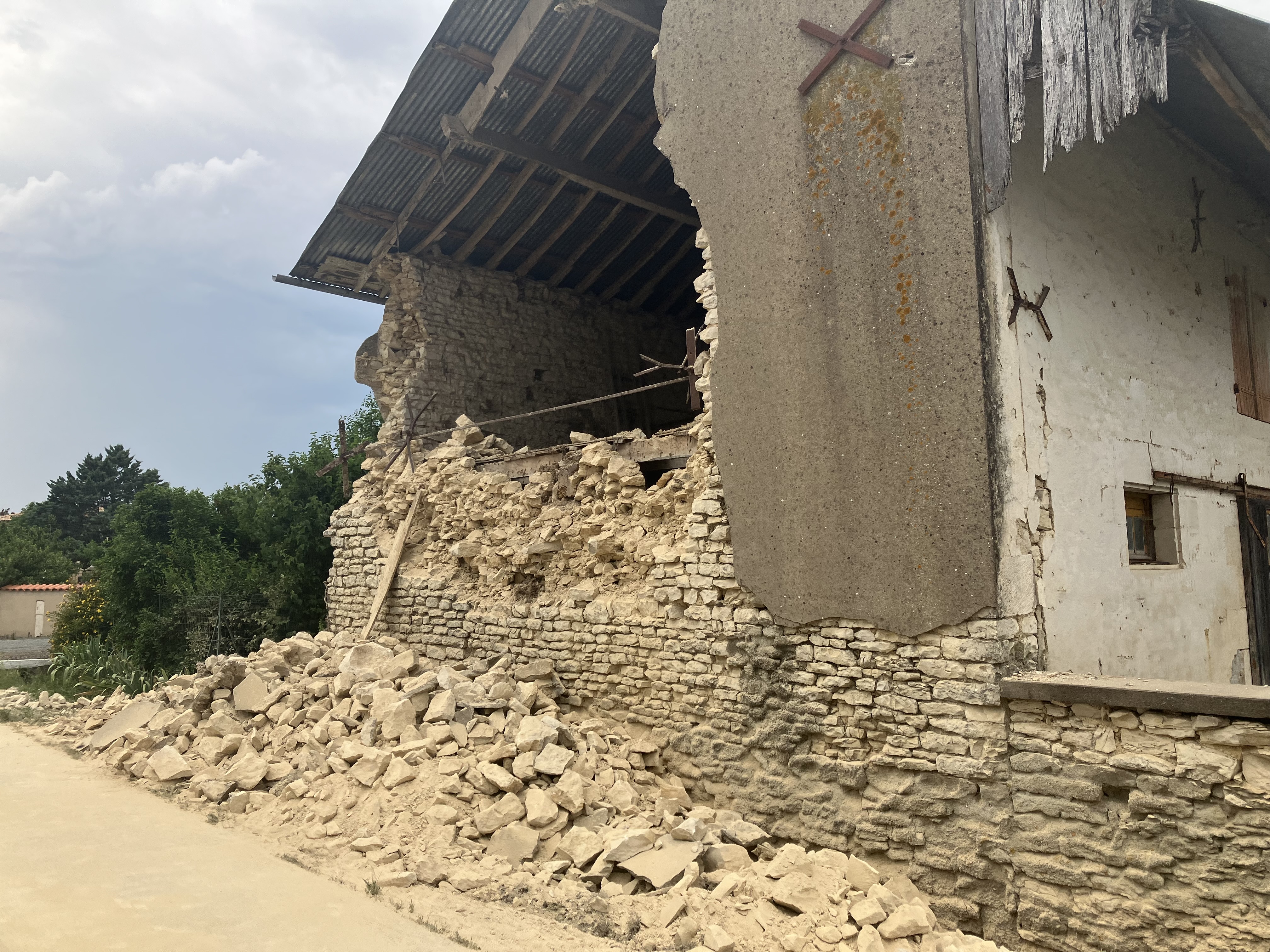
Absolute locations and relative relocations of the aftershock sequence recorded during 4 months after the La Laigne earthquake. The dataset also includes a foreshock and the mainshock locations.
-
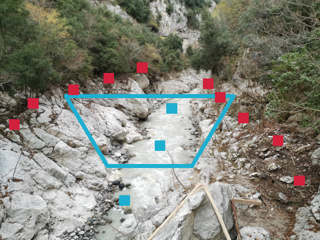
Dataset obtained from a post event field survey, after the 30th june 2024 and 20th July 2024 floods in the Haute-Marne territory (France). The main concerned watersheds are the following: Rongeant, Rognon, and Vazille (tributaies of the Marne river) The post event survey aimed at gathering of information about cross sections, peak discharges and flood dynamics. Cross section data was obtained from field measurements with a theodolite sensor. Peak discharge data are indirect estimates based on local hydraulic analysis (Manning Strickler formulas), and are associated with estimated confidence intervals.
-
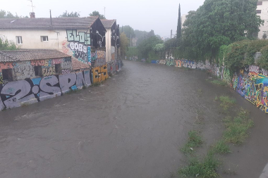
Data of hourly calibrated precipitation amount measured in mm on station CHU2 by the instrument Pluviographe Davis. Measurements start on 2021-06-15 10:35:00.
-
Data of hourly calibrated precipitation amount measured in mm on station Polytech by the instrument Pluviographe Davis. Measurements start on 2019-10-18 00:00:00.
-
Data of daily calibrated precipitation amount measured in mm on station IEM by the instrument Pluviographe Davis. Measurements start on 2019-09-20 06:29:00.
-
Data of daily calibrated precipitation amount measured in mm on station Polytech by the instrument Pluviographe Davis. Measurements start on 2019-10-18 00:00:00.
-
Data of daily calibrated precipitation amount measured in mm on station UM by the instrument Pluviographe Davis. Measurements start on 2019-10-18 00:00:00.
-
Data of daily calibrated precipitation amount measured in mm on station ARCHIOUEST by the instrument Pluviographe Davis. Measurements start on 2020-07-23 00:00:00.
-
Data of hourly calibrated precipitation amount measured in mm on station CHU6 by the instrument Pluviographe Davis. Measurements start on 2021-08-03 06:30:00.
-
Station Météo (pluie et vent) Davis installée sur la terrasse supérieure du bâtiment 35 (MSE) de la fac des Sciences de Montpellier.